Deep Sea Mineral Mapping – Pacific
Large-scale mapping of polymetallic nodule fields using next-generation imaging systems.
Overview
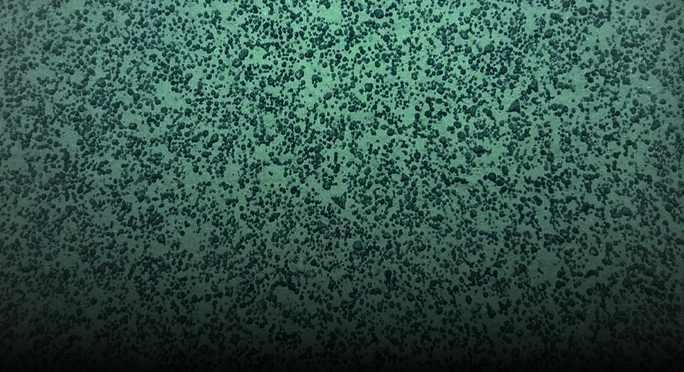
Eco Minerals has completed extensive offshore survey work across the American Samoa and Cook Islands regions, using advanced autonomous underwater vehicles and high-resolution geophysical systems to characterize large areas of the deep seafloor. These campaigns have included synthetic aperture sonar, multibeam bathymetry, sub-bottom profiling, and targeted seafloor imaging, generating detailed datasets on seabed conditions, geology, and polymetallic nodule occurrence. The work provides Eco Minerals with valuable operational experience in the Pacific and a growing body of proprietary deep-ocean data that can support future exploration, environmental studies, and resource evaluation.